You are here
GIS Data Archive
Geographic Information Systems (GIS) are computer systems that analyze and create visual displays of geographic data. Humboldt students and faculty have created amazing GIS projects related to our local area that are often challenging to store, maintain, and discover. The GIS Data Archive is a new project designed to preserve these projects, and their data, and make them discoverable. It will include GIS projects, maps, aerial photographs, and other relevant data and, with interactive visualization tools, will enable us to combine and repurpose data in unique and impactful ways.
The GIS Data Archive is being designed to preserve GIS projects, making their data discoverable in new ways. The GIS community creates invaluable GIS projects, storing them as zip files that are rarely archived, nor discoverable. The Cal Poly Humboldt Library is developing an open-source prototype web server to support hosting and discovery of GIS projects, aerial photographs, maps, and relevant data, with a powerful easy-to-use interactive visualization tool. With IMLS funding, the project team will provide a comprehensive demonstration of the archive’s interactive features highlighting archived works to engage GIS communities and libraries across the U.S. to gather feedback and suggestions for a version 1 release as open source software.
This innovative project will allow students and faculty to archive and showcase geospatial data about Humboldt County, providing insights into our area that wouldn’t otherwise be visible. For example, an interactive GIS project might superimpose data about Humboldt County on a large touchscreen web interface in the Library where users could visualize hydrology data, aerial photos, and invasive species data to see trends and changes in the environment. Users might also be able to explore historical aerial photos with property line maps and flooding and wildfire data to see how an area has changed over time.
Imagine seeing Humboldt County historic maps alongside aerial photos and Geographic Information Systems project data all in a friendly web interface; this is the bold vision of the GIS Data Archive project. This fall we will launch an innovative server with cool features, such as a translucent slider showing a 1931 aerial photo overlaid with a map of the county.
Our goal is to preserve GIS projects and make their data discoverable in new ways. Everyone will be able access the projects, aerial photos, and historic maps, and combine them in ways that support their research.
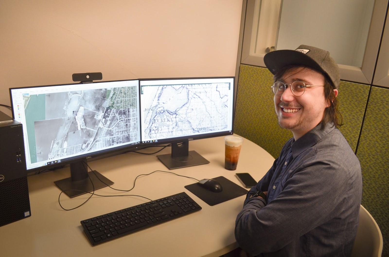
Thanks to Thomas, we have several layers of 1950 aerial photographs and historic maps that are georeferenced and ready for the GIS Data Archive next phase of development: interactive filters and viewing tools to select and superimpose aerial photos, maps, and GIS projects.
The Library has hired two Library GIS Student Specialists this fall to work with Dr. Graham and Dean Oberlander to finalize the metadata review of the works in the database, and begin the marketing and process of adding new works. Thanks to the generosity of the Tuttle family, Special Collections was able to digitize over 40,000 aerial photographs of Humboldt County and is preparing to add them to our Digital Commons website. We have asked computer science students in a software engineering course to develop machine learning automation for georeferencing these important images of our area. Lastly, the Library has submitted an IMLS preliminary grant application to help us build the GIS Data Archive so that other institutions can benefit from archiving their amazing local resources.
 Thomas Rocha gradu